Reaching the end

Let go of the, let go of the future.

Buddha

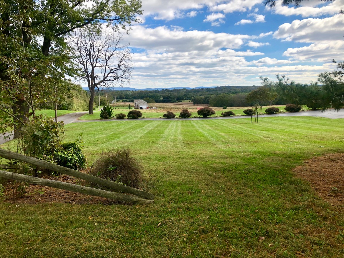
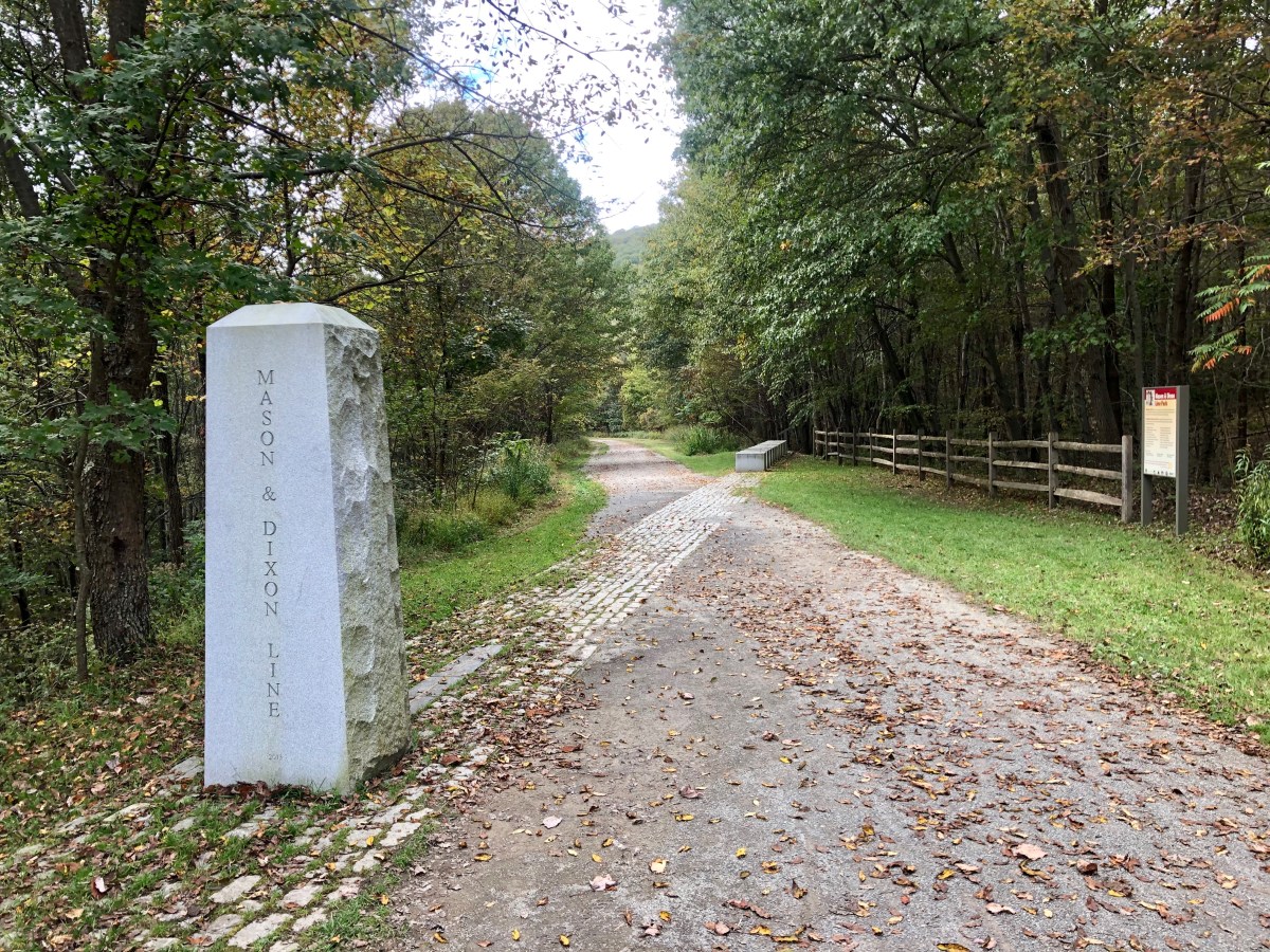
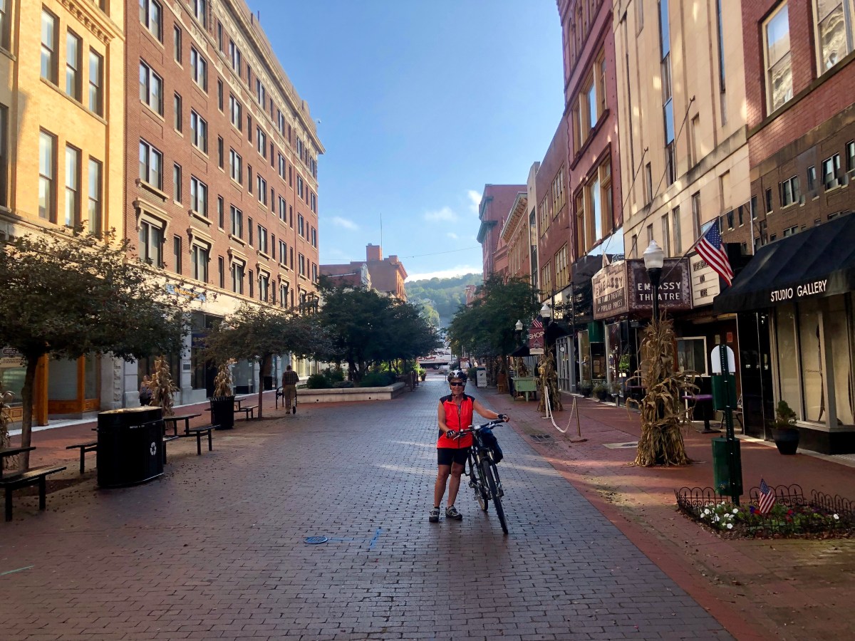
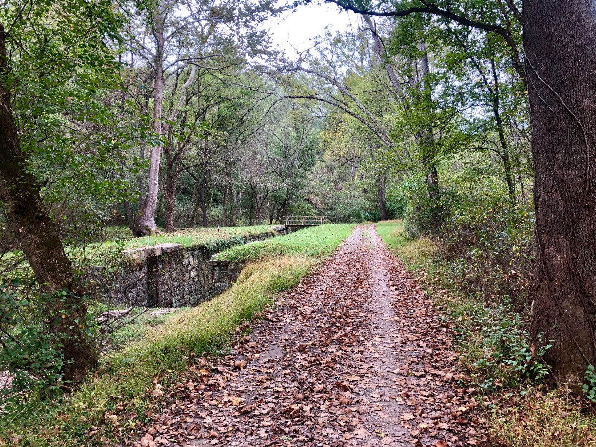
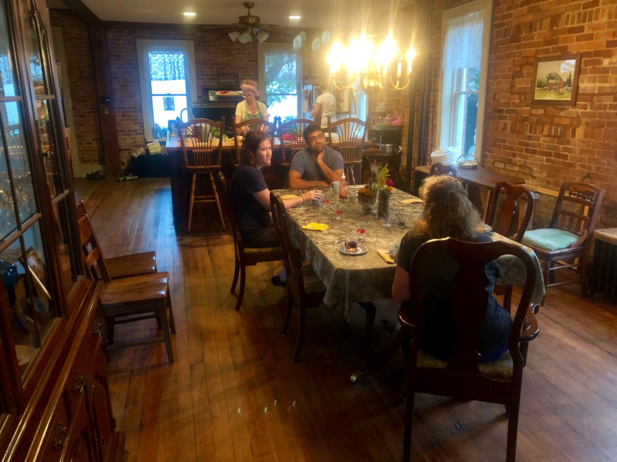
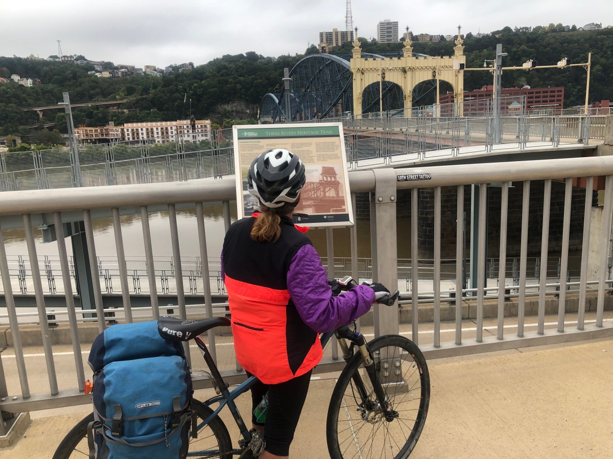
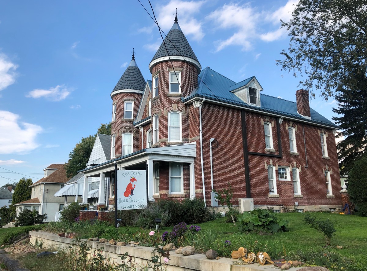
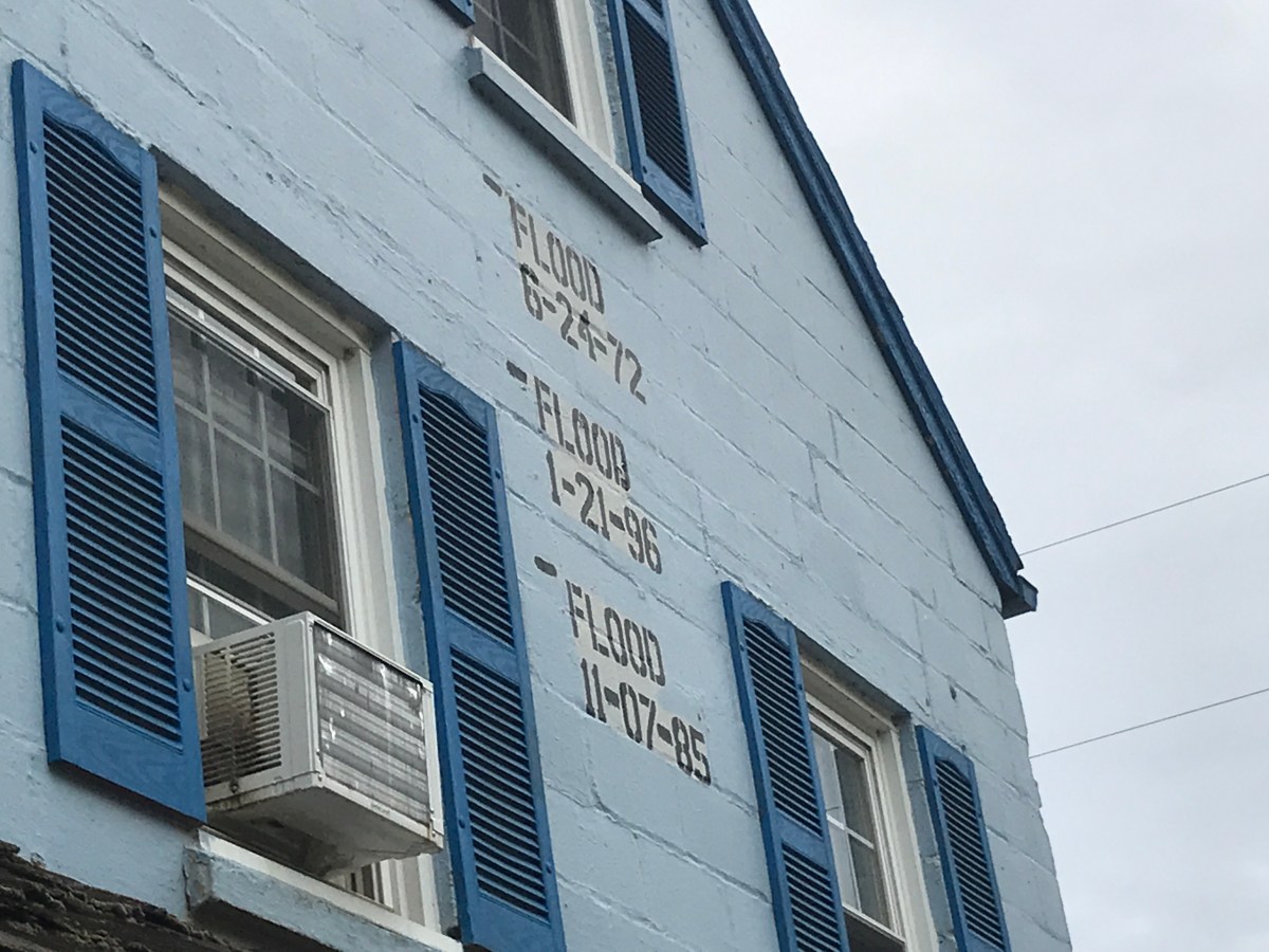
A good rest day in Harpers Ferry. Interesting town in that it seems a tourist attraction with its old buildings, history, and an attempt at maintaining that and earning a living from that. Re-enactments of civil war stuff, locals (I assume) walking around in period costumes of 1860.

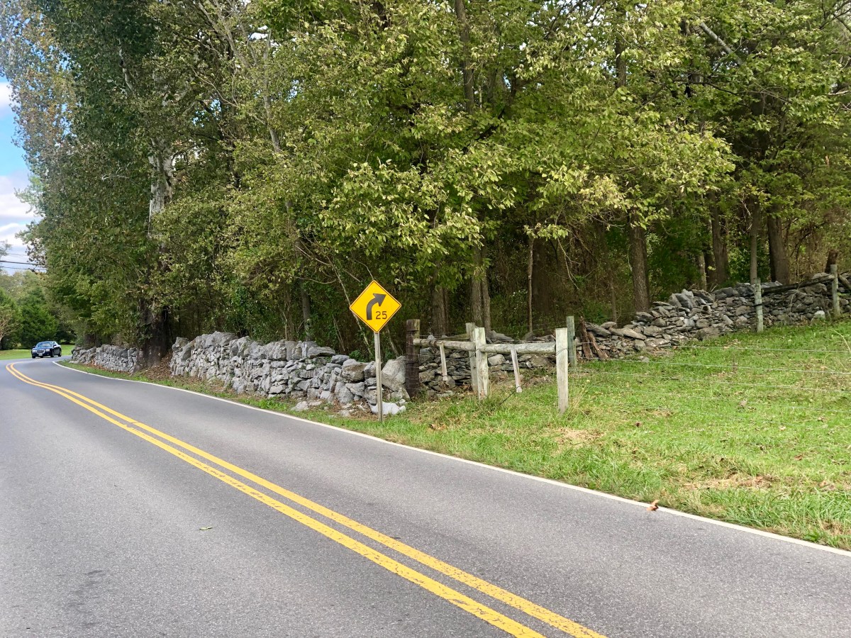
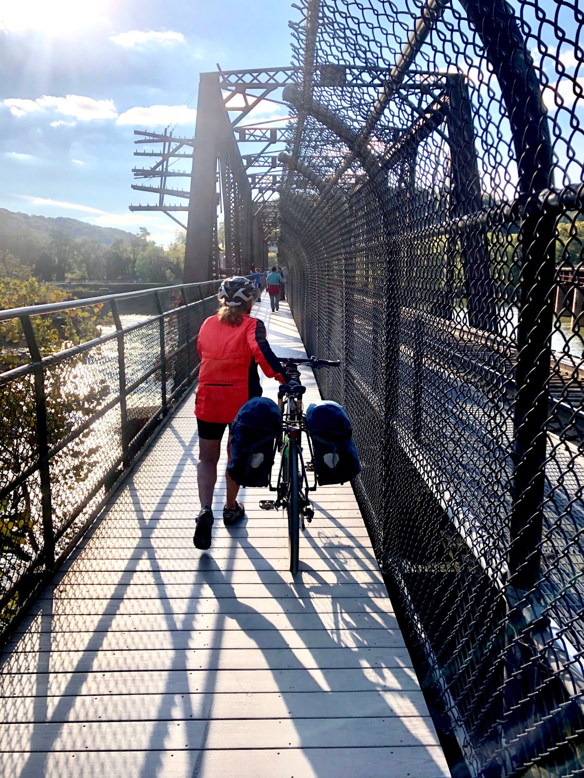
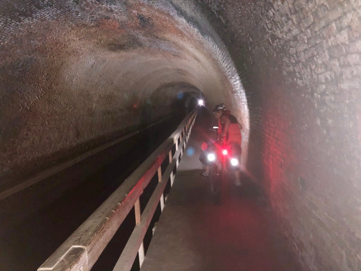
For the entire trip we have heard about awful trail conditions especially mile 88 and 55. We did 88 around a muddy section the day before. Leaving harpers ferry we come across the “bridge out” at 55. We have heard numerous stories ranging the gambit of problems. I went to park service in Cumberland and all I got was “bridge out” without further direction. In harpers ferry went to park service but told they do not do c & o trail, only harpers ferry historical town. Told to check website and call park service in Hagerstown where c& o park headquarters is. I checked website and found this.

Towpath Closed. Due to a washout. There is no detour in place at this time due to unsafe conditions on adjacent roadways. From the west, exit the towpath at Brunswick (MP 55), or from the east at Lander Lock 29 (MP 50.9). Please contact Shepherdstown Pedal and Paddle at 304-876-3000 or River and Trail Outfitters at 301-834-9950 to arrange for a shuttle around the detour. Construction has begun on a temporary bridge but has been delayed due to frequent high water events. Work will resume when the risk for flooding is minimal and take approximately 2-3 weeks

I called park service and received a “hello”. The fellow said he just answered the phone but was not the park service. He did give me detailed instructions for a detour and said it was very hilly but since we were bikers we could do it. He questioned our future stay in Leesburg as it was 6 miles off trail.

Staircase from pedestrian walkway across Potomac River

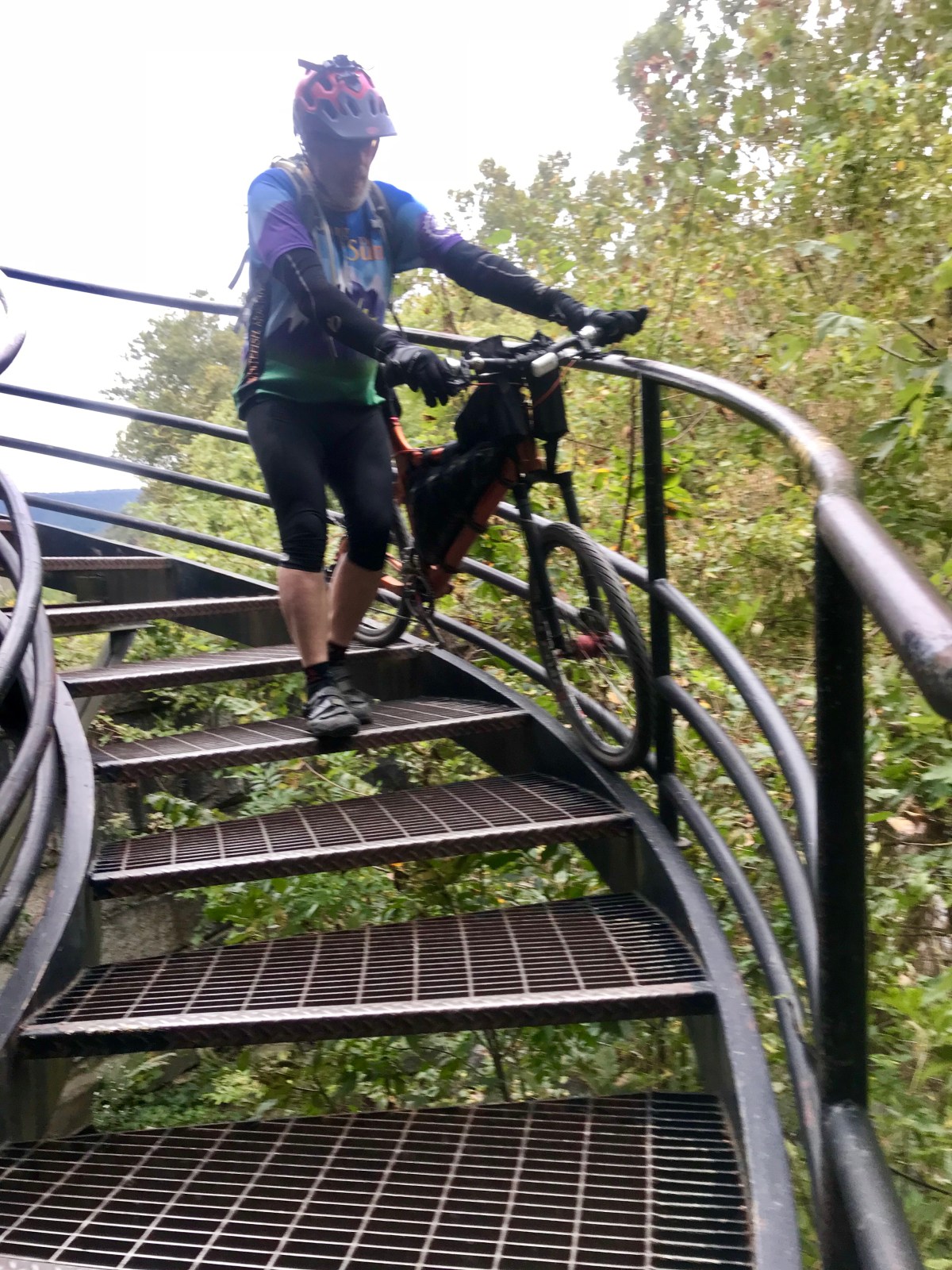
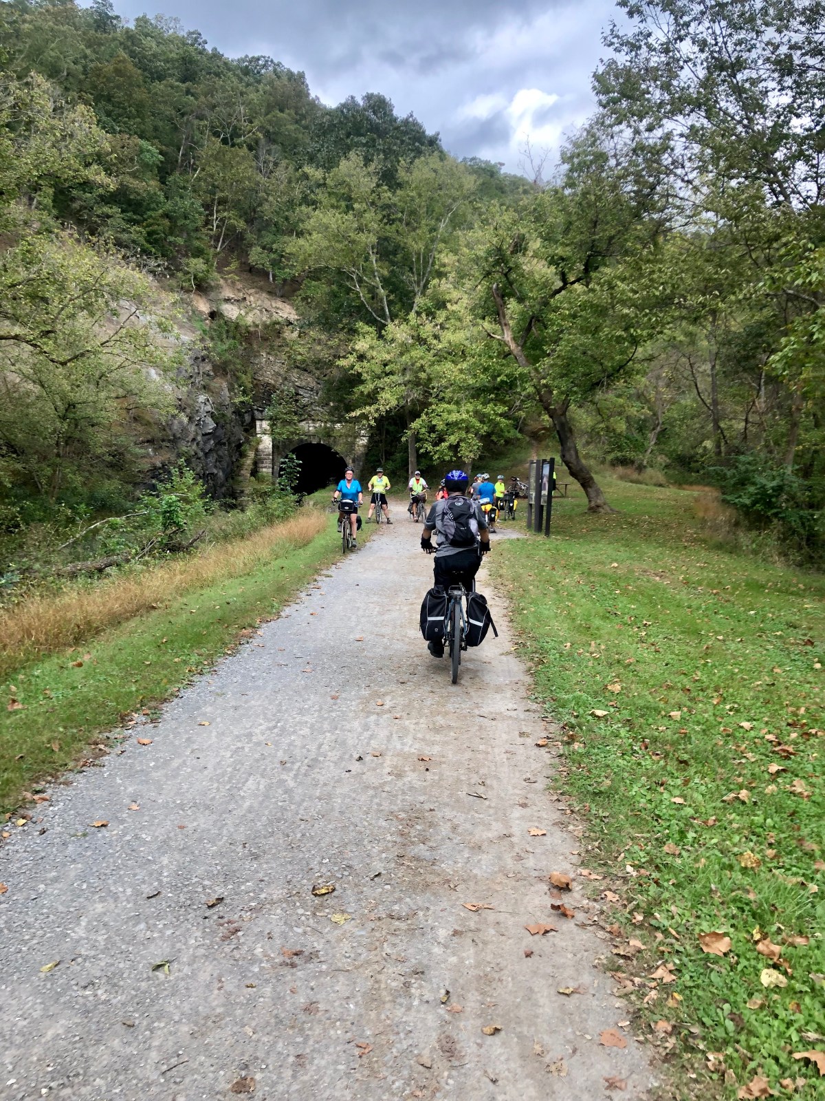
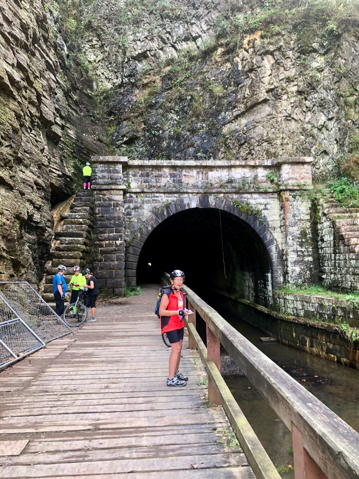
Jeanne said she just wanted to see what the bridge out was, so we decided to ride to it. Leaving harpers ferry we came across a heavily loaded rider who had just come from there. He maintained it was no problem. He went up to railroad and crossed on aqueduct, stating room at side if train came by, but there were workers there who seemed not to care. He said the trees across trail between here and there were a worse problem. He originally called to inquire about shuttles and cost was $175 for the 5 mile detour.

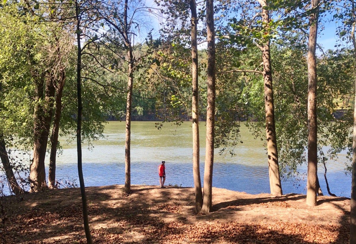
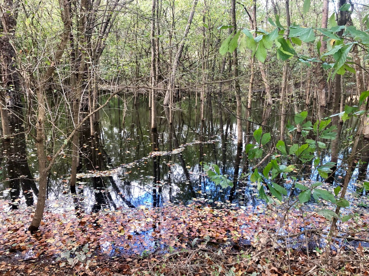
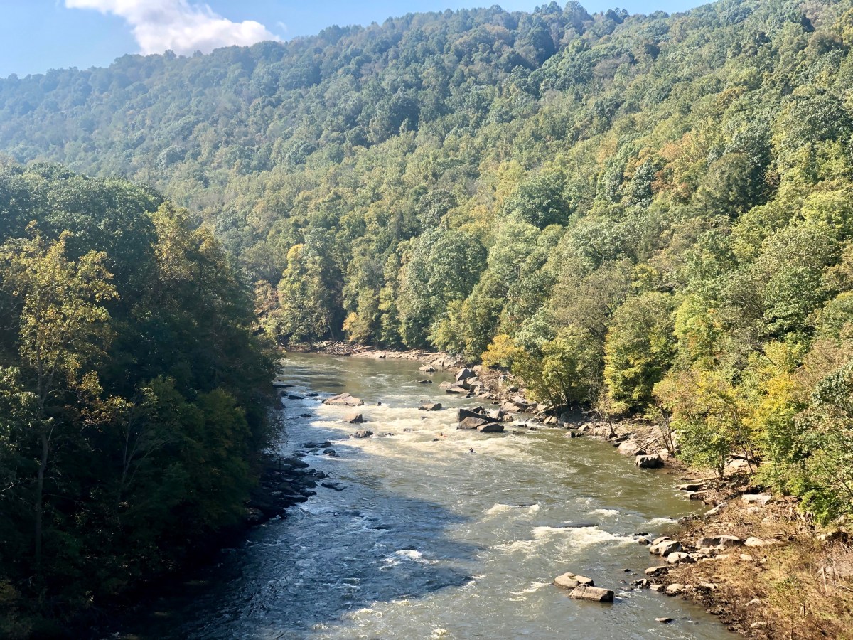
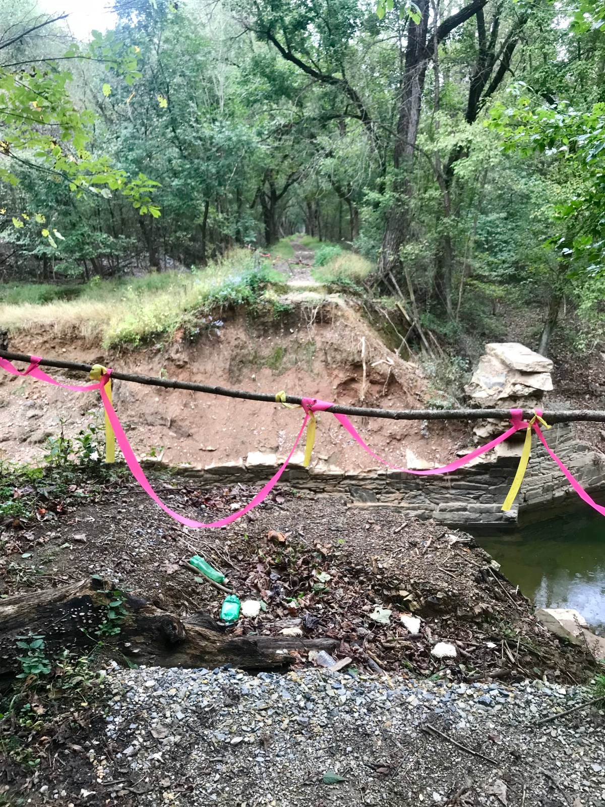
Arrived at site and bridge most definitely gone. Hurricane Florence, a month ago, had reeked havoc. The area has received a massive amount of rain this past summer. Nearly double the normal.

Bridge mostly definitely not there

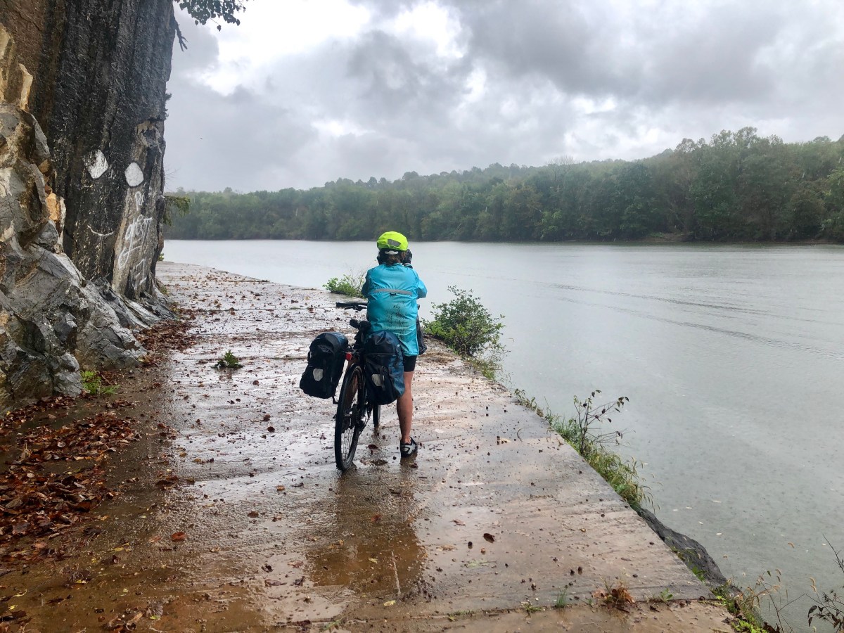
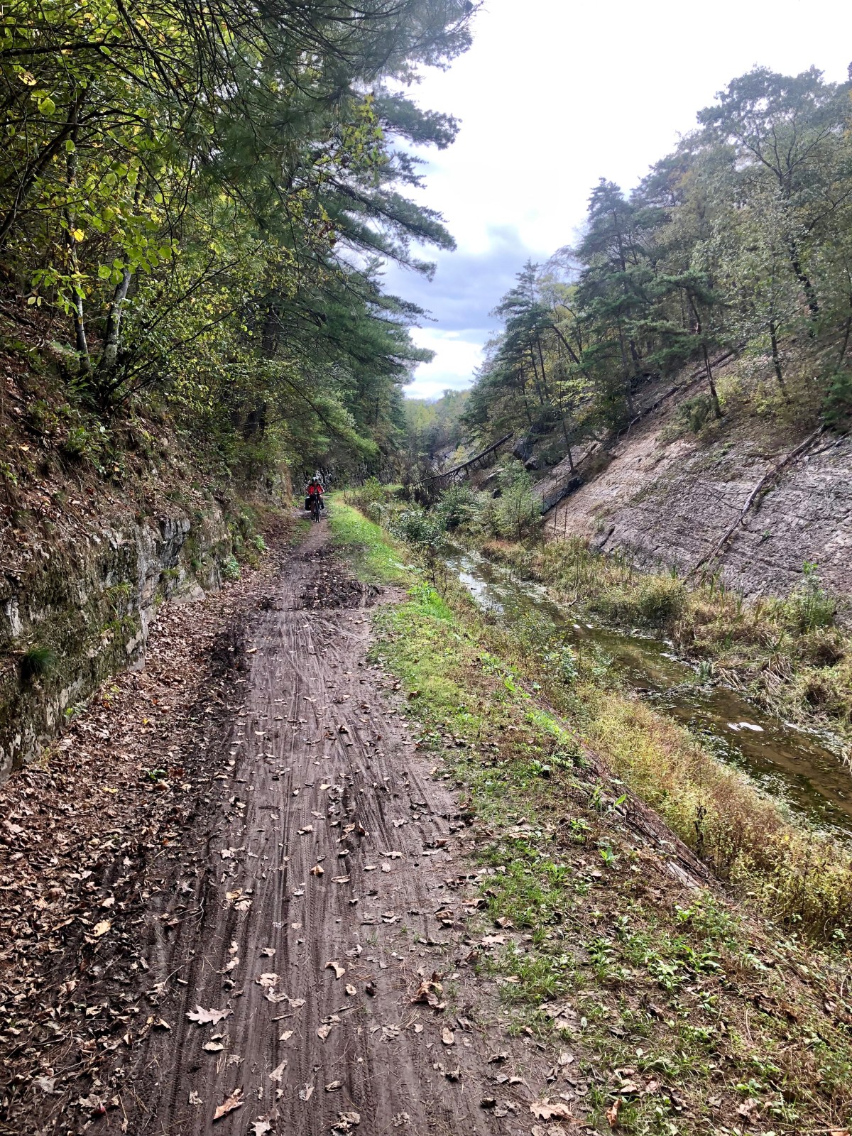
We looked around at the railroad and a short trail to it and downstream where a large trail led even a shorter distance to the stream edge. I went there and it appeared shallow with flat rocks on the bottom. Took off shoes and socks, and 30 seconds later I was on other side in a bit of mud but not bad. Went back for Jeanne’s bike, and we were off, wondering if the problem was still ahead as this had been a non problem. Perhaps on another day with more rain it would be different but for us we are sill questioning the problem.

Impossible steam crossing

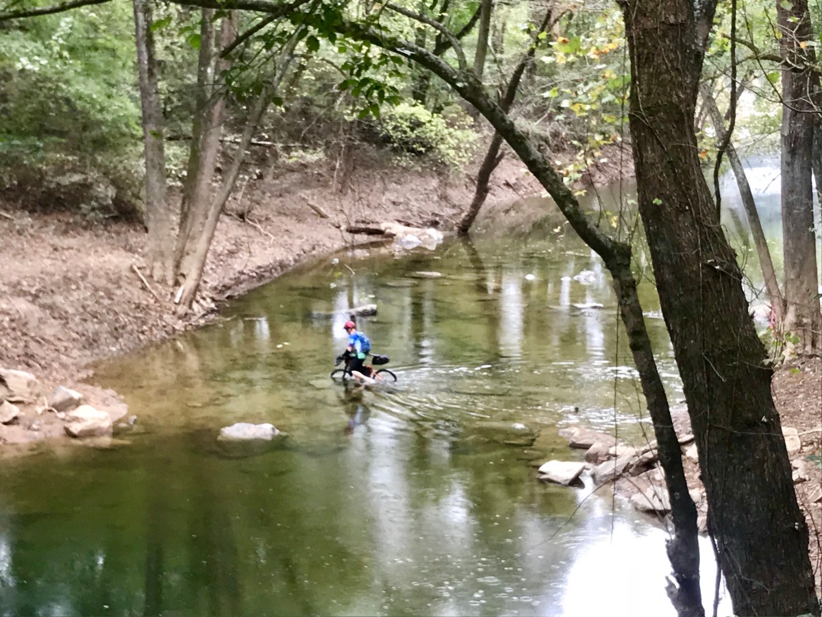
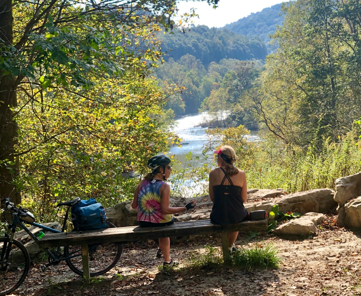
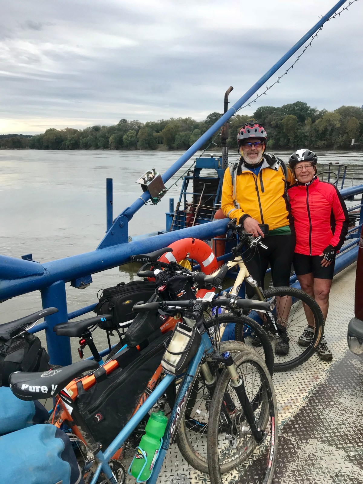
Arrived at ferry across the Potomac, and called for the motel shuttle advertised. They said not available for 2-3 hours. We decided to ride and ok although a 4 lane busy highway with shoulder.

Building beside river showing recent flood levels at stories 2 and 3.
Whites ferry

In the morning departed via shuttle, although it was apparent motel was not happy having to shuttle us. Arrived at trail and I saw a park service car and thought I would inquire about yesterday’s event. He said he was purely law enforcement and knew nothing about trail. Once again, it is reiterated, never ask a cop for help.

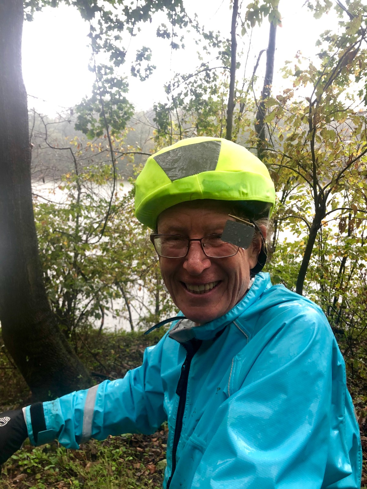
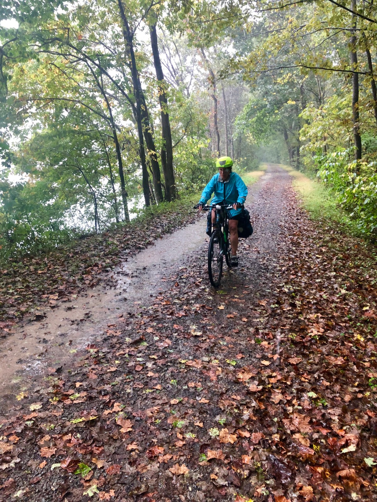
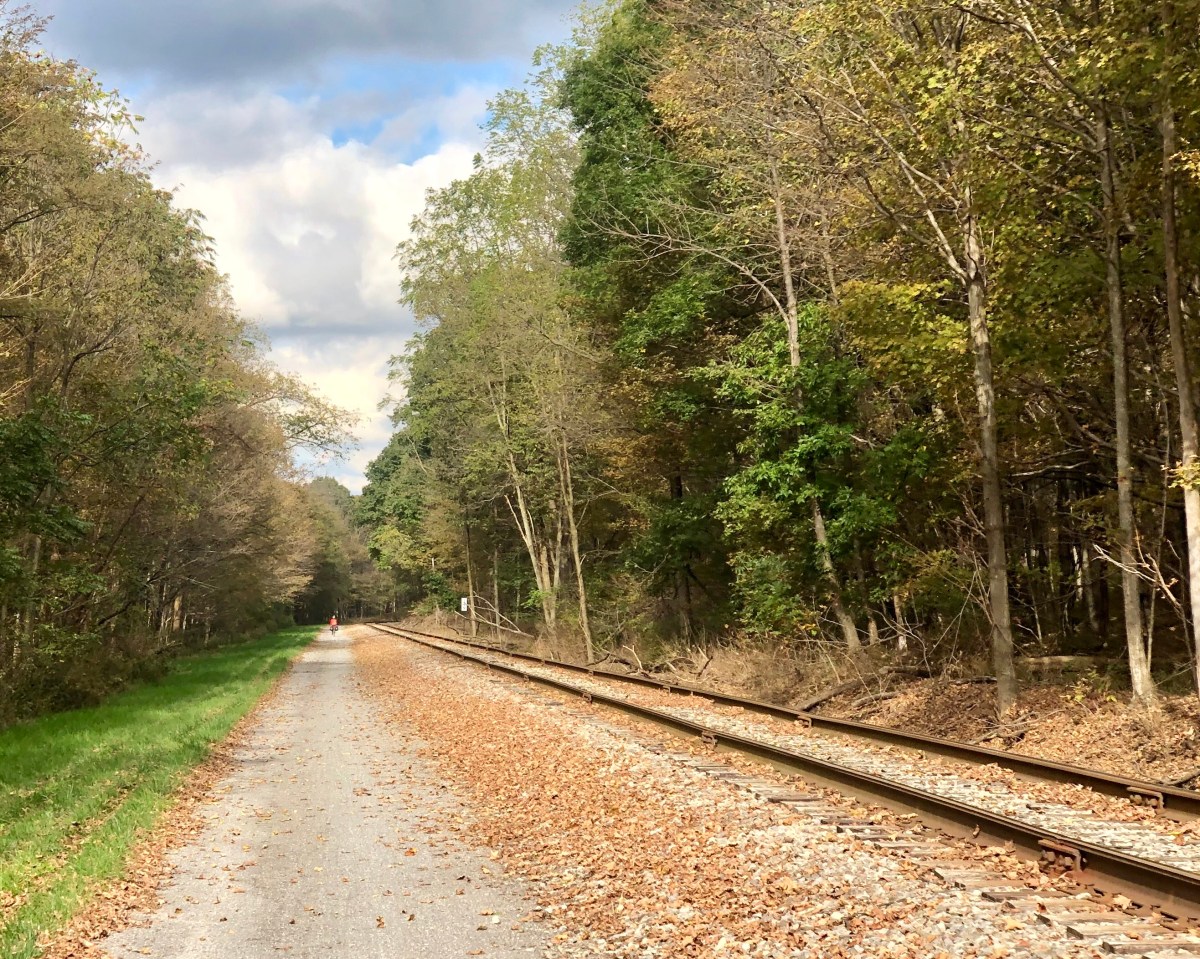
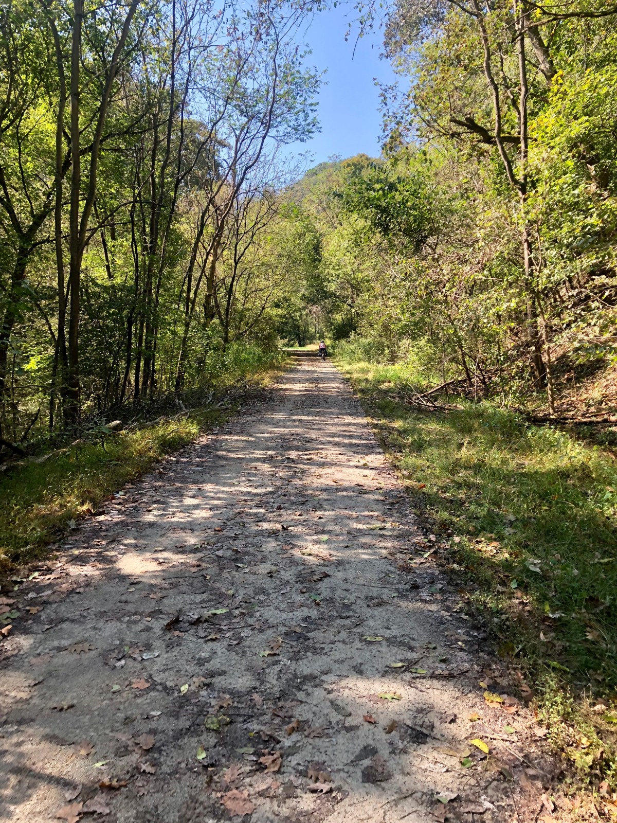
It was a rainy day and trail muddy. Occasional gravel but a lot of mud. I did try riding the edge of one puddle and went down. I see a lot of people riding without helmets and wonder as I seem to hit my head every time, although this time just a simple fall although neck hurt a bit. Park service in Cumberland did warn me do not ride edges of puddle.

More construction areas with short detours as we approached city. The atmosphere was becoming noisier with air traffic and as we got closer traffic noise through the tree above, us although we were still very much in forest.

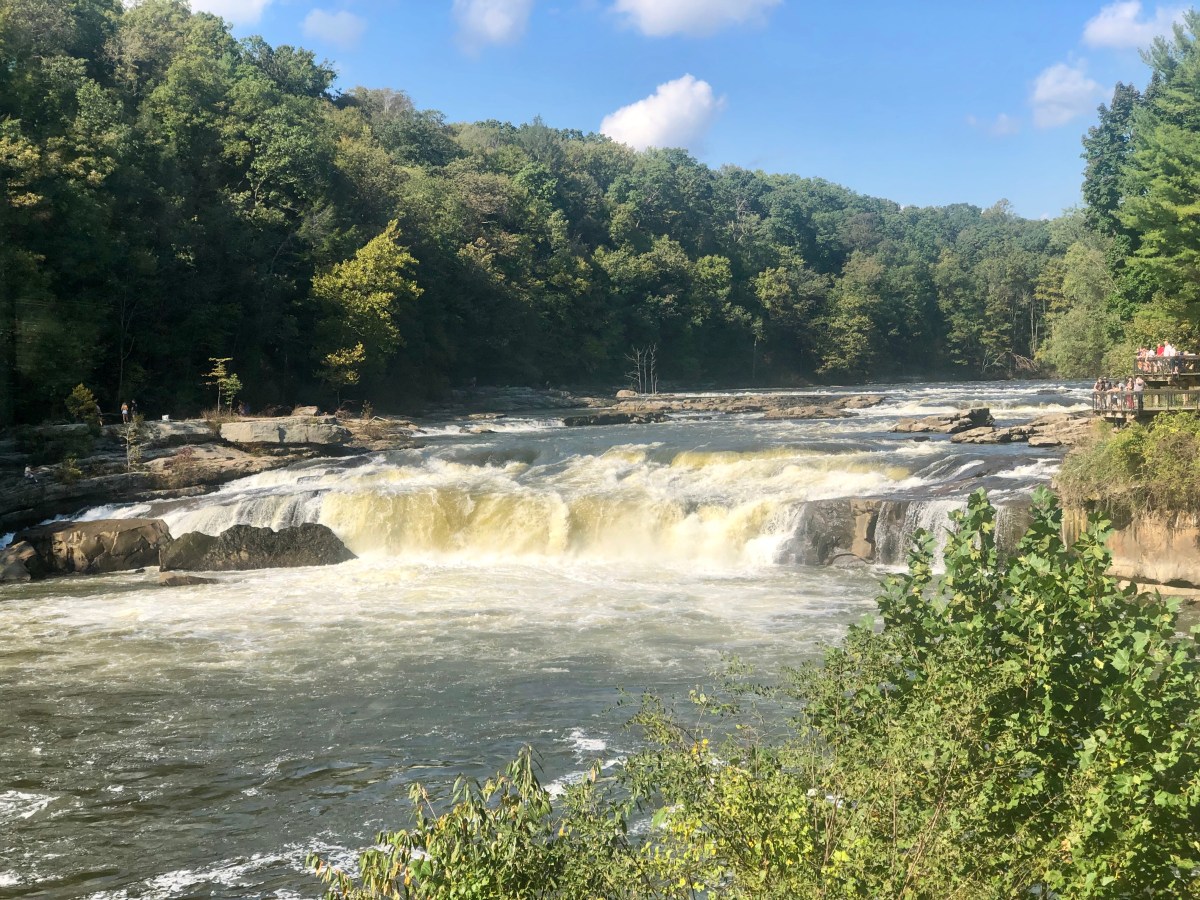
Stopped at Potomac falls, a very impressive rapid.

Potomac falls
Heron fishing

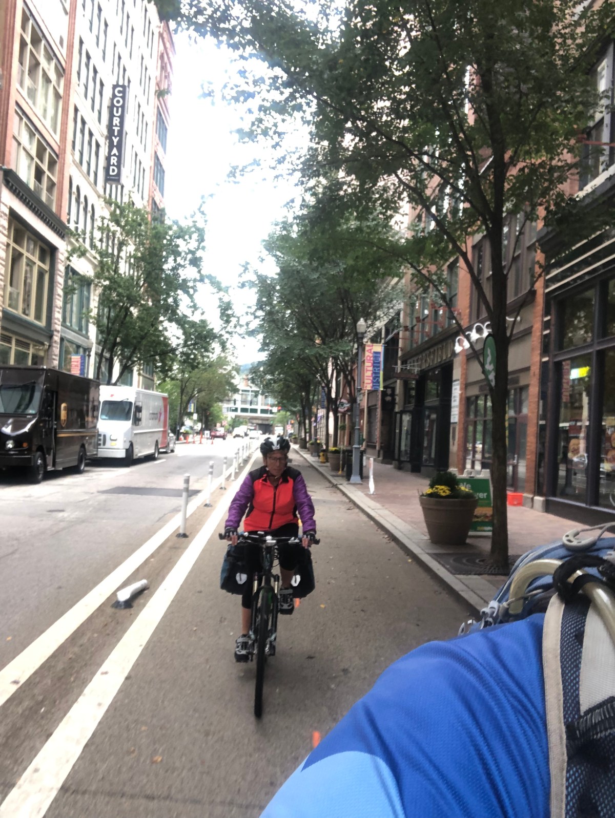
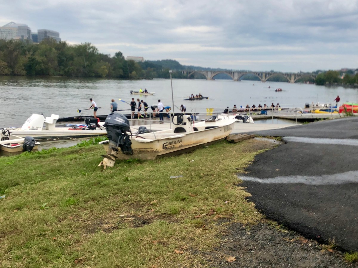
As we approached Washington the trail had a paved section next to it and we hopped on it, for riding out of dirt and mud. My rear brake was beginning to act up, sticking as Jeanne’s had done back on Erie Canal. I washed it, but kept sticking. The trail separated and we were on a road on a bike path by street. We wanted the c & o and returned back to find trail. It wound around some buildings, obviously trying to maintain historical canal, but also trying to develop the area. Development was winning and we got pushed back to the bikeway. We worked our way through various intersections finding ourselves at a rowing club getting ready for sculling practice. Met some other cyclist who had found the end and said go through the club and around corner. We wound our way through the folks carrying 8 man sculls to the water, finally around building and a tiny park with milepost 0.

Arriving Washington DC
Numerous sections changing trail or finding trail
Rowing club practice
Milepost 0 with watergate hotel in background. Watergate is named for water gates a start of c&o canal
Finish

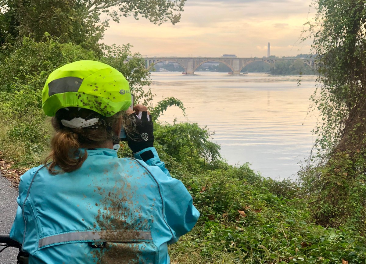
On departure found a hose on side of building of which we washed our bikes. One fellow walking by congratulated us saying it was quite a feat, although had no idea what we had done or how far.

My rear brake was now totally locked so I removed pads which were completely worn out, after being new at beginning of trip. Plugged in a walking route to motel which said an hour. We walked rode in 1/2 hour through city.

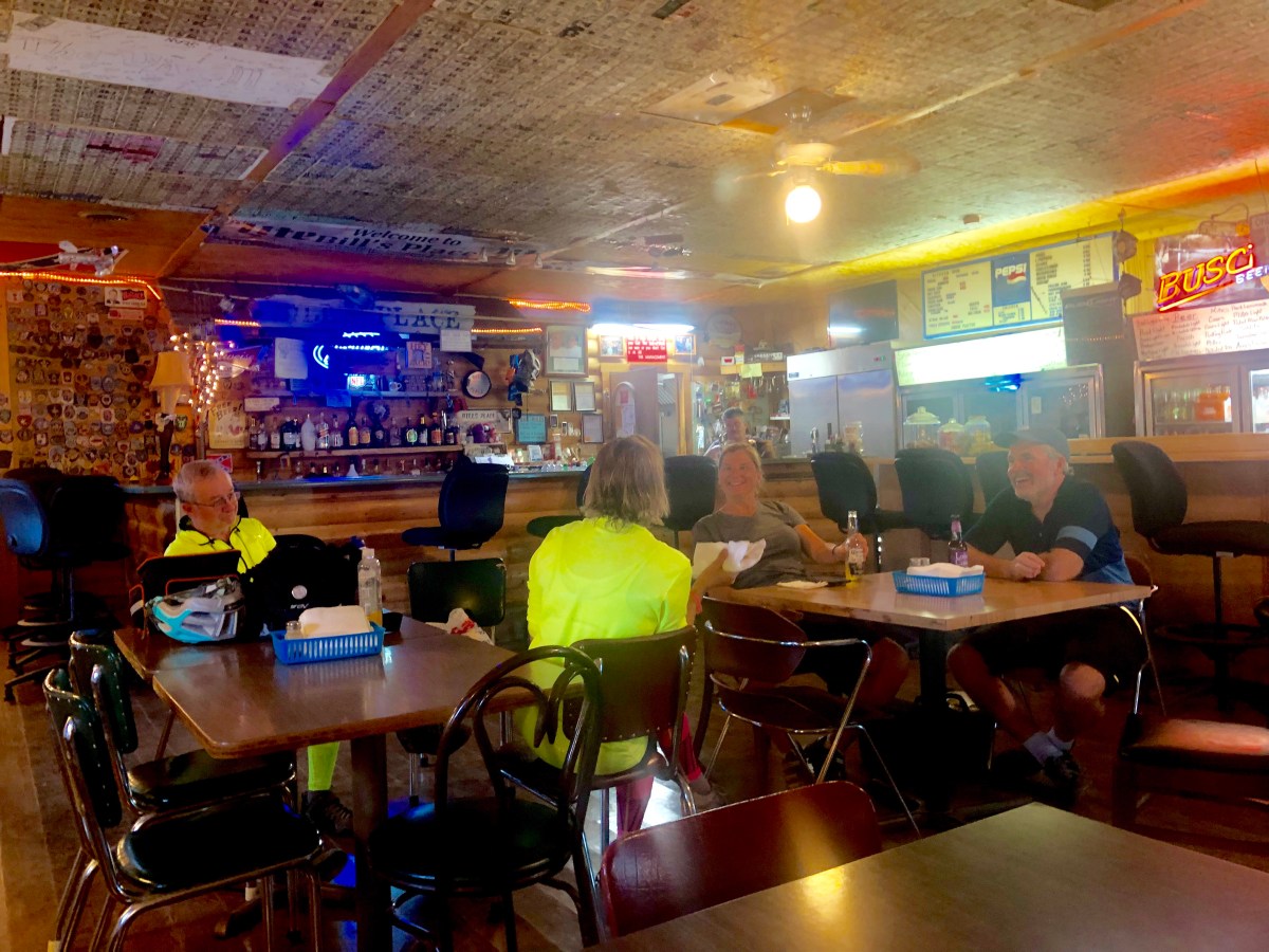
Exhausted more than I have been in a long while, sore, and dirty. No explanation for the tiredness but it was. We had made a dinner date with our friends son for dinner and only night available. Shuttle to metro station and metro train in Washington DC for a weird dinner restaurant but a good visit.

Celebration dinner

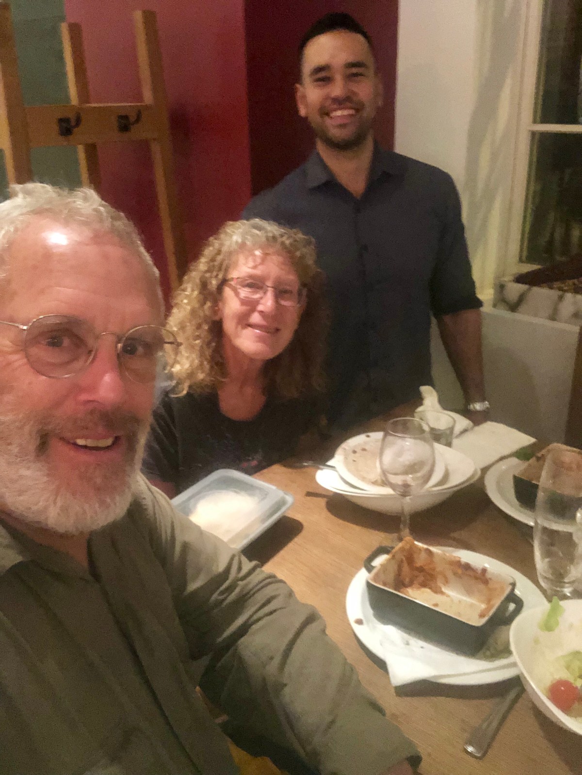
Hence biking for this rip is done. My rear tire has developed a bulge and rear brake gone. Time to get some bike boxes and pack up.

C & O

“In the spring, at the end of the day, you should smell like dirt.”

–Margaret Atwood

In 1965 I did my first bicycle tour, taking the train from Utah alone to Philadelphia. I joined a group of 16 year olds led by a 22 year old and we cycled for a month ending up somewhere on the C & O towpath into Washington DC. It was a grand adventure, one I am not sure parents would let their kids do that today. My parents have said it started my wanderlust.

Since that time I have added a few more tours in numerous locations, but currently am back where it started, although my memory is a bit fuzzy as to what I saw years ago. Memories have a way of emerging though, and I remember riding my road bike, which was really the only kind available back then. Currently one needs wider tires closer to a cross bike or a mountain bike although suspension is not necessary. One can still cruise, but the trail thus far has been a bit of mud, puddles, roots.

Departed the B &B up on ridge near 1500 feet (450 meters) in elevation dropping to 300 feet (100 m). Temp was about 70 (21 c) but humidity was 100% and had rain overnight. It was questionable whether raining for the ride or just humidity falling. Started with rain jacket but shed it quickly due to sweat and getting soaked anyway.

I was the only one to ride down of 14 staying there. All but Jeanne and I decided to pay a shuttle to skip the gravel, puddly few miles to where a paved trail beside towpath was built. I met Jeanne back at Billy’s bar where a conversation began about our current president. Jeanne and I departed quickly.

Waiting for J. R. To ride down hills

Great riding and we cruised along trail similar to beginning of the trail back out of Cumberland. Maintenance is a bit lacking. Hit the pavement and began really cruising, Jeanne excited as she could look around and not be totally focused, looking down at potential pitfalls.

Reached Hancock and wanted to explore a bit, but now it was really starting to rain and decided to get to Williamsport quickly and maybe diminish the time spent in rain. Jeanne has her rain gear on, but I was just in regular bike gear soaked, but not cold.

Jeanne in the rain
Wet riding
Rain along the Potomac

It began to rain hard finally slowing down about the time we reached Williamsport. Motel was a mile out of town, and we asked for a hose or something to clean bikes with. They said they had none. (Most places we have found have a cleaning station for bikes) we asked for an old sheet or pad to set bikes on in room, but were told nothing available and just take them in room. A long term resident said motel often completely filled with bikers and all told the same. He said often people put their bikes in the shower. We cleaned our bikes, which were covered in mud, the best we could outside and rolled them in, feeling bad for trashing the room, but we were told to do that.

Next day partly cloudy but a reported mud section with 2 miles (3k) of unrideable 9″ (20 cm) gunk. Funny the stories one gets, varying from nasty but ok to totally undoable. One has to check it oneself. I had checked with park service before in cumberland and a detour was available. In talking with folks I began to realize the trail detour was well marked north to south but not so much going south to north. We are riding the former, and that is what we found although as we progressed on the 6 mile (10k) detour the detour signs became less and I began using the gps more and more. When we reached the towpath again there was no “towpath closed” sign going north,as there had been going south. No wonder the folks riding north were bewildered and miserable. But it was a delightful ride, for us away from the forest of the river, canal and towpath, seeing the farm country.

Maryland countryside
Pumpkin patch
Rock wall

Delightful ride with more history along the way. Passed by Antietam creek where 4 miles upstream was the bloodiest day in civil war history. 23000 lives were lost in a single day. Humanity???? We humans are a crazy lot.

Arrived across the Potomac River from harpers ferry, one of the places we visited in 1965. I only remember visiting it and seeing lots of civil war history and the Appalachian trail crosses here. We climbed the circular staircase with our bikes onto railroad bridge with pedestrian trail on side. (Road bridge is downriver a few miles), arriving in West Virginia, the mountain state and began climbing the street to motel. Quite a climb then a descent back to river, where motel is. Not a bike friendly or pedestrian friendly town, in terms of physical layout, but motel had a bike wash, and rags to clean bikes. In for a rest day.

Potomac River campground
Pedestrian ridge to harpers ferry, West Virginia
Canal is getting grown in

Interesting in that this canal never really made it to commercial viability. It began in competition with the railroad and the railroad won. All about the same time as Erie Canal which was very much commercially viable.

history can be fascinating

time for a rest day.

Over the top and beyond

“Give all power to the many, they will oppress the few. Give all power to the few, they will oppress the many.”

Excerpt From: Chernow, Ron. “Alexander Hamilton.”

Climbed out of Meyersdale and back to trail where it continued the railroad grade of 1-1.5% grade upward. Had to keep reminding Jeanne we were climbing as it certainly seemed flat. Reached the top and a underpass stating eastern continental divide separating Potomac and Mississippi rivers. Atlantic and Gulf of Mexico. 2392 feet (792meters)

Eastern continental divide
Elevation profile of two trails

Began the downward. Descent barely peddling for 20 miles (30 k) stopping for good beers and bad food at the college town of Frostburg. Great views out over the rolling hills extending seemingly forever. Crossed the Mason-Dixon Line and we were in southern United States, although description stated it was more a property settlement in the 1700,s than a slavery location line.

Mason – Dixon line
Frostburg sculpture park
Rails to trails
Mt Savage
Entering Cumberland, Maryland

Then along the tracks of scenic railway Western Maryland into Cumberland Maryland, the largest town since Pittsburgh at about 30,000 people. A delightful meal with new friends and the GAP trail was done,onto the C & O towpath. (Great Allegheny passage and the Chesapeake & Ohio)

Cumberland, Maryland

We had been hearing stories of the mud and disrepair on the C & O. It is a national historic trail maintained by the National Park service which is drastically underfunded. The GAP is run primarily by volunteers. I stopped at park headquarters for update and reassured that only two major sections were out – deep mud for 2 miles (1.6 k) at mile 88 and a bridge out at mile 55, both a few days away. But warned to ride through puddles as edges tended to be slippery and people fell in. The past months have been very rainy year here.

Mile zero
A few puddles
Entrance to paw paw

One section is tunnel cut for the canal. Interesting riding as dark and sides are a bit curved so orientation is a bit off. 3018 feet (.91 kilometer) long paw paw tunnel.

Inside the paw paw tunnel
Tunnel southern end
Southern tunnel approach

On to Little Orleans where directions were ride to mile 140 cross bridge to 15 mile creek, go under tunnel then eat at bills before calling for a ride to B & B. We arrived 15 mile creek but not mile 140. Luckily the app map showed instead of crossing 15 mile creek just turned left, went under tunnel and ate at bills. Apparently 6 miles to B&B and shuttle encouraged as “very steep hill and only 3 out of 800 bikers made it last year” I chose to ride and it was a wonderful ride although 9 miles added to the 42 of day. Through the forest hills then out into farmland and again a climb but not bad. I did sweat profusely as although temperature only about 75 (25c)humidity near 90%. A delightful B &B where 60% of occupancy is by bikers.

Bills bar. Great fried chicken
Parking
Lock 65

Great times and adventures. One never knows what you will find unless you try.

Moving along slowly

Happiness is not a destination

It is a way of life.

(Saying written on hotel wall)

a couple of easy days with barely 30 miles (50k) a day, passing towns which developed because of the railroad and coal. Now they are slowly going away or trying desperately to adapt, and some meet with a bit of success, others not do much.

Ohiopyle is one town which the citizens realized was falling down. With great effort they developed a state park, now listed as one of the best in country. They cleaned the river of sewage and mining gunk, reintroduced otters, and now the Youghiogheny is the most floated river on the east coast. Frank lloyd Wright house “falling water” is a booming industry for visitors. The GAP trail is booming with hundreds of through travelers every day. Would have liked to stay and visit, but b&b’s were booked, no motels hotels so our current reservations were in Confluence 12 miles (19 k) up the trail.

Youghiogheny river gorge deepest in Pennsylvania
Near Ohiopyle
Ohiopyle falls turned George Washington around and he said river would never be floated

Thus we arrived in Confluence, population about 750, where the Casselman, Youghiogheny, and Laurel Creek all come together. The b & b owner told us she would not be at home until 6 due to the pumpkin festival. We arrived in town just in time to grab some food at one of many fair vendors, before the parade started. The middle school band and twirlers, fire trucks from numerous surrounding towns, tractor trucks, Republican Party encouraging voting for a “giant red wave” in November and “make America great”. There were no opposing views. Apparently about 13,000 people show up for the 3 day festival.

Pumpkin festival crafts and food
2018 festival queen
Festival princess
Cement truck
A real float
Go kart club
Parade truck
More food

But starting to get dark and we left for B&B 2 miles out of town. A farm house built in 1840.

Built 1840
Kitchen dining

Today, a mellow day just riding into Rockwood just to see first thing is a bar which a bunch of “old folks” sitting out front smoking and drinking light beer at 11 am. Was a bit weird going in and looking for batteries amongst the cigarettes in my Lycra biking stuff. All but one cafe was closed and we moved on, numerous bikers remained at one for lunch.

Rockwood cafe

Rockwood

Arrived Meyersdale which looked promising, arrived at Dong’s drive inn and motel. Cheapest motel yet $65. 3 of 6 restaurants closed on Monday (today) others a fast food two others pizza and one a bar Janet to for beer and was not impressed. Walked about town noticing a confederate flag flying above a store which turned out to be our pizza place. Hmm.

Meyersdale
Dong’s drive inn and motel
Great rail to trail
Rest stop along the trail

All in all another nice couple days on the bike.

Beginnings of the GAP trail

One day you will wake up

And there won’t be any more time

To do the things you’ve always wanted

Do it now

Paulo Coelho

Ok a great week visiting friends in New England. Rented a car and we drove about visiting old friends and reminiscing. But a week in the car, still eating out. Ready for some bike time. Perhaps not the high adventure kind but literally a ride in the park.

Arrived Pittsburgh and returned car to 5th floor of bus station parking, grabbed our gear onto the elevator, packed, and off we rode into downtown Pittsburgh.

Bus station parking lobby
Separate bike lane in downtown

Pittsburgh definitely impressed us with its bike friendliness. We rode about a mile and were in the heart of it with separate bike lanes and cars were not overly intimidating.

Arrived at start of Great Allegheny Trail next to river confused by all the bridges, seeming to go everywhere. Somewhere we read Pittsburgh has more bridges than anywhere else in the world, with two big rivers there. The Allegheny and the Monongahela joining to form the Ohio River.

Bridge descriptions
Bike paths even amongst freeways

Finally on our way stopping at the waterfront of the town of Homestead for lunch. Quite the development and way too much lunch, but the beer was good.

Interesting developments though. Guide Book said reservations for hotels were recommended, but not my style. I prefer to wing it and have somehow convinced Jeanne it can be fun to see what happens. In this case we started looking and options were limited. Only one b&b located 30 miles along and when called it was totally booked. Uh oh closest next place is 5 miles (7 k) further along. A regular hotel which turns out is next to interstate highway. And 2 miles up the hill from bike path. Turns out we got its last room. We arrived and started calling along the trail. No motels but b & b’s and not spaced the 30-40 miles (40-65 k) we like. Today’s ride was 22 miles (35 k) as is tomorrow’s, but discovered places are booked as numerous places already full. We are now booked nightly for the next 9 days, whether we like it or not.

The riding is great though, as it seems to usually be, on a bike. After leaving Pittsburgh, again met our old friend the crushed stone dirt surface which is great. Cannot help but compare last weeks Erie Canal ride with this one and first noticed lots of bikers and many through riders. On the Erie Canal only saw maybe 5-6 the entire 380 mila(680 kilometer). Here we easily see that many in an hour.

As noted by the bike shop mechanic on Erie Canal it is not advertised much and not a huge amount goes into its development. No restrooms or water or camping facilities. Motels are along the way, certainly not specifically for bikers, but spaced about. But a great trail along a very historic canal system.

Here, have not met a single person who does not know of the trail. The gas station attendant miles before Pittsburgh questioned, why this time of year, but knew the trail.

This trail apparently was only completely done in 2013. It began in the 1970’s when the P&LE railroad, which had run since the late 1800’s, quit due to declining coal production. This has become a theme on this trip, every rural town appeared dying and every one said it was thriving in the 70’s.

Jeanne mentioned today it seems here people have had to rally for a living. And the bike trail obviously helps. There are little shops along the way. Towns have built bike paths through town and campgrounds are plentiful.

Old steel mills I guess
Rest along the Youghiogheny River
Great side creeks but occasionally one coming from an old coal mine with its sulphuric acid and nasty chemicals
Crushed stone and dirt trail rising
Whitsett, an old coal mining company town
Mileage markers
Rest in shade with high humidity
Old coke kiln for turning coal into coke , then transport to the steel mills
Our B & B for Saturday night in Collinsville

And so it goes another day on the bike and wondrous riding. A rails to trail, so grade is flat, although we are riding supposedly up a 1.5% grade. Whew.

nice to just cruise along but realize I have become afraid to step off trail into brush or grass as keep hearing about ticks and Lyme disease. One person noted it is now routine for anyone living in the east to check daily for ticks. Give me bears and moose. Whatever I am having a grand time